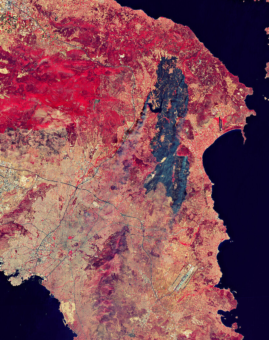
Wildfires near Athens, Greece, August 2024, satellite image
Bildnummer 14283824

| Satellite image of wildfires around Athens (lower left), Greece, on 12th August 2024. Vegetation is red and burned areas are black. The fires started on the 11th August in a forest to the north-east of Athens. They quickly spread with the help of strong winds and dry conditions, eventually affecting 400 square kilometres of land. The fires were brought under control by the 13th August, but thousands of people were evacuated from their homes and one person died. Athens International Airport is at lower right. Imaged by the Copernicus Sentinel-2 mission. | |
| Lizenzart: | Lizenzpflichtig |
| Credit: | Science Photo Library / ESA |
| Bildgröße: | 4266 px × 5379 px |
| Modell-Rechte: | nicht erforderlich |
| Eigentums-Rechte: | nicht erforderlich |
| Restrictions: |
|
Preise für dieses Bild ab 15 €
Universitäten & Organisationen
(Informationsmaterial Digital, Informationsmaterial Print, Lehrmaterial Digital etc.)
ab 15 €
Redaktionell
(Bücher, Bücher: Sach- und Fachliteratur, Digitale Medien (redaktionell) etc.)
ab 30 €
Werbung
(Anzeigen, Aussenwerbung, Digitale Medien, Fernsehwerbung, Karten, Werbemittel, Zeitschriften etc.)
ab 55 €
Handelsprodukte
(bedruckte Textilie, Kalender, Postkarte, Grußkarte, Verpackung etc.)
ab 75 €
Pauschalpreise
Rechtepakete für die unbeschränkte Bildnutzung in Print oder Online
ab 495 €
