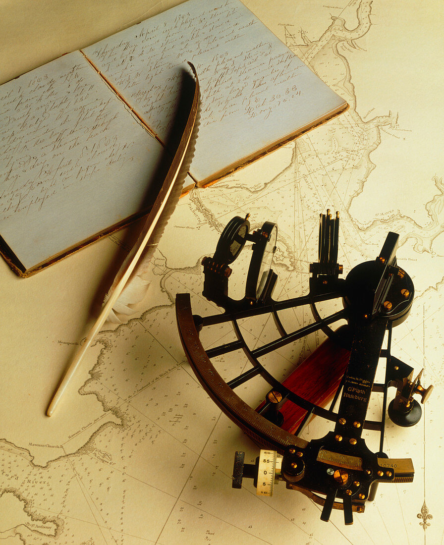
Navigational sextant on a historical map
Bildnummer 11879787

| Sextant. Historical sextant on an old map with a book and a feather quill pen. Sextants are used to measure the position of heavenly bodies to aid in navigation. This is because the exact position in the sky of the Sun and stars depends upon the time and location. If a navigator knows the time,the location can be calculated from the position of these bodies. The sextant was invented in about 1730 due to independent work by English mathematician John Hadley and American inventor Thomas Godfrey. Photograph of a map of Falmouth,Britain. This town was a major port during the 18th and 19th centuries | |
| Lizenzart: | Lizenzpflichtig |
| Credit: | Science Photo Library / Young, Ed |
| Bildgröße: | 2887 px × 3543 px |
| Modell-Rechte: | nicht erforderlich |
| Eigentums-Rechte: | nicht erforderlich |
| Restrictions: | - |
Preise für dieses Bild ab 15 €
Universitäten & Organisationen
(Informationsmaterial Digital, Informationsmaterial Print, Lehrmaterial Digital etc.)
ab 15 €
Redaktionell
(Bücher, Bücher: Sach- und Fachliteratur, Digitale Medien (redaktionell) etc.)
ab 30 €
Werbung
(Anzeigen, Aussenwerbung, Digitale Medien, Fernsehwerbung, Karten, Werbemittel, Zeitschriften etc.)
ab 55 €
Handelsprodukte
(bedruckte Textilie, Kalender, Postkarte, Grußkarte, Verpackung etc.)
ab 75 €
Pauschalpreise
Rechtepakete für die unbeschränkte Bildnutzung in Print oder Online
ab 495 €
