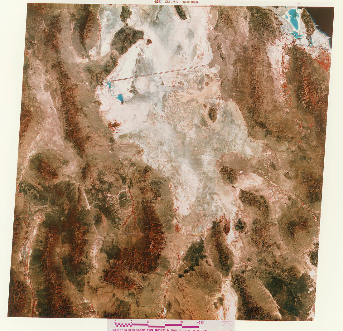
Great Salt Lake Desert,USA
Bildnummer 11745676

| Great Salt Lake Desert,Utah,USA,coloured combined infrared and visible satellite image. North is at top. This is a low salt flat that was once a huge lake. The Interstate 80 road (I80) crosses the desert at upper centre,running to Salt Lake City,which is just out of frame at upper right. The coast of the Great Salt Lake (black) is seen at top right. The white area north of I80 is the Newfoundland Evaporation Basin,and the white and blue area just south of I80 is the Bonneville Salt Flat. The desert is surrounded by mountains (brown) to the west and south. Photographed by a Landsat satellite | |
| Lizenzart: | Lizenzpflichtig |
| Credit: | Science Photo Library / MDA Information Systems |
| Bildgröße: | 4961 px × 4786 px |
| Modell-Rechte: | nicht erforderlich |
| Eigentums-Rechte: | nicht erforderlich |
| Restrictions: | - |
Preise für dieses Bild ab 15 €
Universitäten & Organisationen
(Informationsmaterial Digital, Informationsmaterial Print, Lehrmaterial Digital etc.)
ab 15 €
Redaktionell
(Bücher, Bücher: Sach- und Fachliteratur, Digitale Medien (redaktionell) etc.)
ab 30 €
Werbung
(Anzeigen, Aussenwerbung, Digitale Medien, Fernsehwerbung, Karten, Werbemittel, Zeitschriften etc.)
ab 55 €
Handelsprodukte
(bedruckte Textilie, Kalender, Postkarte, Grußkarte, Verpackung etc.)
ab 75 €
Pauschalpreise
Rechtepakete für die unbeschränkte Bildnutzung in Print oder Online
ab 495 €
