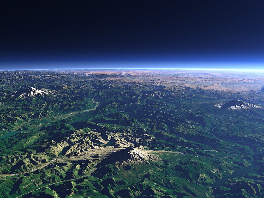
Mount St Helens,3D computer artwork
Bildnummer 11744775

| Mount St Helens,USA,3D computer image,viewed at an altitude of 19 kilometres. Mount St. Helens (lower centre) in the Cascade Range in the northwestern United States with Mount Rainier (left) and Mount Adams (right). Mount St Helens is an active volcano and was responsible for the most destructive volcanic eruption in US history in 1980. This image was created by Christoph Hormann using data obtained from satellites such as Landsat and SRTM (Shuttle Radar Topography Mission). The data was processed into computer models using three-dimensional rendering software and then coloured and distorted to mimic the natural curvature of the Earth | |
| Lizenzart: | Lizenzpflichtig |
| Credit: | Science Photo Library / Hormann, Christoph |
| Bildgröße: | 5120 px × 3840 px |
| Modell-Rechte: | nicht erforderlich |
| Eigentums-Rechte: | nicht erforderlich |
| Restrictions: | - |
Preise für dieses Bild ab 15 €
Universitäten & Organisationen
(Informationsmaterial Digital, Informationsmaterial Print, Lehrmaterial Digital etc.)
ab 15 €
Redaktionell
(Bücher, Bücher: Sach- und Fachliteratur, Digitale Medien (redaktionell) etc.)
ab 30 €
Werbung
(Anzeigen, Aussenwerbung, Digitale Medien, Fernsehwerbung, Karten, Werbemittel, Zeitschriften etc.)
ab 55 €
Handelsprodukte
(bedruckte Textilie, Kalender, Postkarte, Grußkarte, Verpackung etc.)
ab 75 €
Pauschalpreise
Rechtepakete für die unbeschränkte Bildnutzung in Print oder Online
ab 495 €
