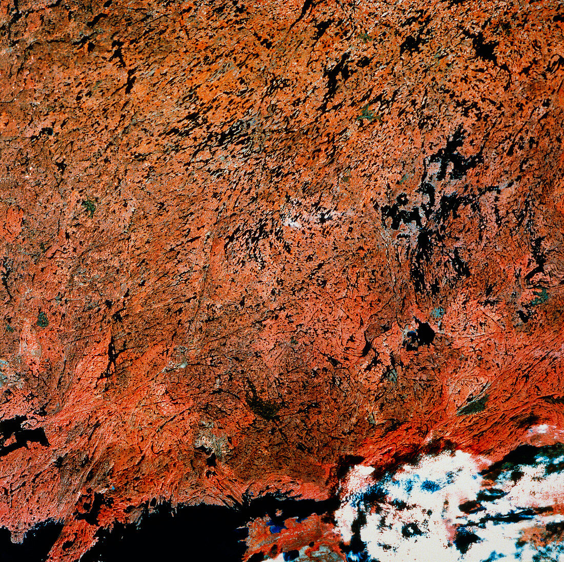
Landstat photo of Saskatchewan,Canada
Bildnummer 11744589

| Landsat photograph of the northern part of Saskatchewan and part of the Northwest Territory,Canada. The image also shows part of Lake Athabasca (bottom of image in black) and Uranium City,on the northern shore of the lake,is located near the bottom left-hand corner. The Laurentian or Canadian Shield (pre-Cambrian) dotted with thousands of lakes can be seen,the rocks of this region are about 600 million years old. The greenish patches among the red of forest are areas of burnt woodland. This part of Canada is sparsely populated and forest fires are impossible to control | |
| Lizenzart: | Lizenzpflichtig |
| Credit: | Science Photo Library / MDA Information Systems |
| Bildgröße: | 4269 px × 4252 px |
| Modell-Rechte: | nicht erforderlich |
| Eigentums-Rechte: | nicht erforderlich |
| Restrictions: | - |
Preise für dieses Bild ab 15 €
Universitäten & Organisationen
(Informationsmaterial Digital, Informationsmaterial Print, Lehrmaterial Digital etc.)
ab 15 €
Redaktionell
(Bücher, Bücher: Sach- und Fachliteratur, Digitale Medien (redaktionell) etc.)
ab 30 €
Werbung
(Anzeigen, Aussenwerbung, Digitale Medien, Fernsehwerbung, Karten, Werbemittel, Zeitschriften etc.)
ab 55 €
Handelsprodukte
(bedruckte Textilie, Kalender, Postkarte, Grußkarte, Verpackung etc.)
ab 75 €
Pauschalpreise
Rechtepakete für die unbeschränkte Bildnutzung in Print oder Online
ab 495 €
