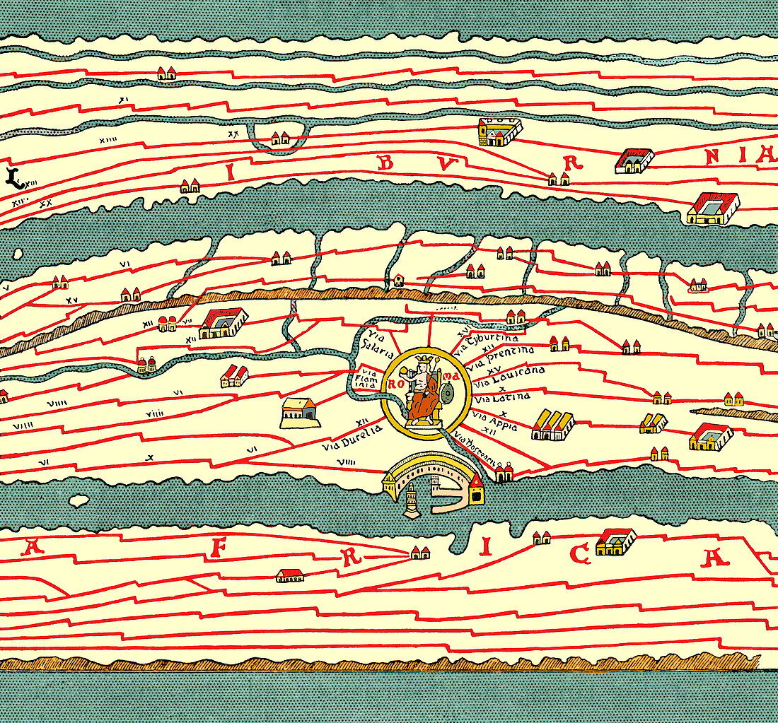
Peutinger table,historical map
Bildnummer 11735521

| Peutinger table. A section of the historic Peutinger table (also known as the Tabula Peutingeriana),which was a 13th century copy of a Roman map. Roads and cities are depicted but the work,which was cut into 12 sections,was heavily elongated - leading to it appearing squashed in the North-South direction. The copy was produced by a Monk named Colmar,in Alsace,and was 6 metres wide by 30 centimetres tall in dimensions. It is thought to be based on an original map dating from around the 5th Century. Taken from A Book of Discovery,M.B. Synge (1912) | |
| Lizenzart: | Lizenzpflichtig |
| Credit: | Science Photo Library / Terry, Sheila |
| Bildgröße: | 3502 px × 3256 px |
| Modell-Rechte: | nicht erforderlich |
| Eigentums-Rechte: | nicht erforderlich |
| Restrictions: | - |
Preise für dieses Bild ab 15 €
Universitäten & Organisationen
(Informationsmaterial Digital, Informationsmaterial Print, Lehrmaterial Digital etc.)
ab 15 €
Redaktionell
(Bücher, Bücher: Sach- und Fachliteratur, Digitale Medien (redaktionell) etc.)
ab 30 €
Werbung
(Anzeigen, Aussenwerbung, Digitale Medien, Fernsehwerbung, Karten, Werbemittel, Zeitschriften etc.)
ab 55 €
Handelsprodukte
(bedruckte Textilie, Kalender, Postkarte, Grußkarte, Verpackung etc.)
ab 75 €
Pauschalpreise
Rechtepakete für die unbeschränkte Bildnutzung in Print oder Online
ab 495 €
