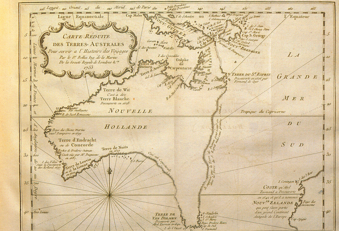
Historical map of Australia from 1753 book
Bildnummer 11735484

| Historical map of Australia. A historical map of Australia,first published in 1753. The dotted lines on this map show unexplored areas of coastline that the cartographer has filled in by guesswork. Tasmania (lower centre,formerly Van Diemen's Land) and New Guinea are both shown as being joined to the Australian landmass,although neither is. Part of New Zealand appears in the lower right. This map was made shortly before James Cook's historic voyage to Australia,which led to the British claim of sovereignty in 1770 and subsequent colonization | |
| Lizenzart: | Lizenzpflichtig |
| Credit: | Science Photo Library / Bernard, George |
| Bildgröße: | 3697 px × 2516 px |
| Modell-Rechte: | nicht erforderlich |
| Eigentums-Rechte: | nicht erforderlich |
| Restrictions: | - |
Preise für dieses Bild ab 15 €
Universitäten & Organisationen
(Informationsmaterial Digital, Informationsmaterial Print, Lehrmaterial Digital etc.)
ab 15 €
Redaktionell
(Bücher, Bücher: Sach- und Fachliteratur, Digitale Medien (redaktionell) etc.)
ab 30 €
Werbung
(Anzeigen, Aussenwerbung, Digitale Medien, Fernsehwerbung, Karten, Werbemittel, Zeitschriften etc.)
ab 55 €
Handelsprodukte
(bedruckte Textilie, Kalender, Postkarte, Grußkarte, Verpackung etc.)
ab 75 €
Pauschalpreise
Rechtepakete für die unbeschränkte Bildnutzung in Print oder Online
ab 495 €
