Galileo navigation satellites
Bildnummer 11889054
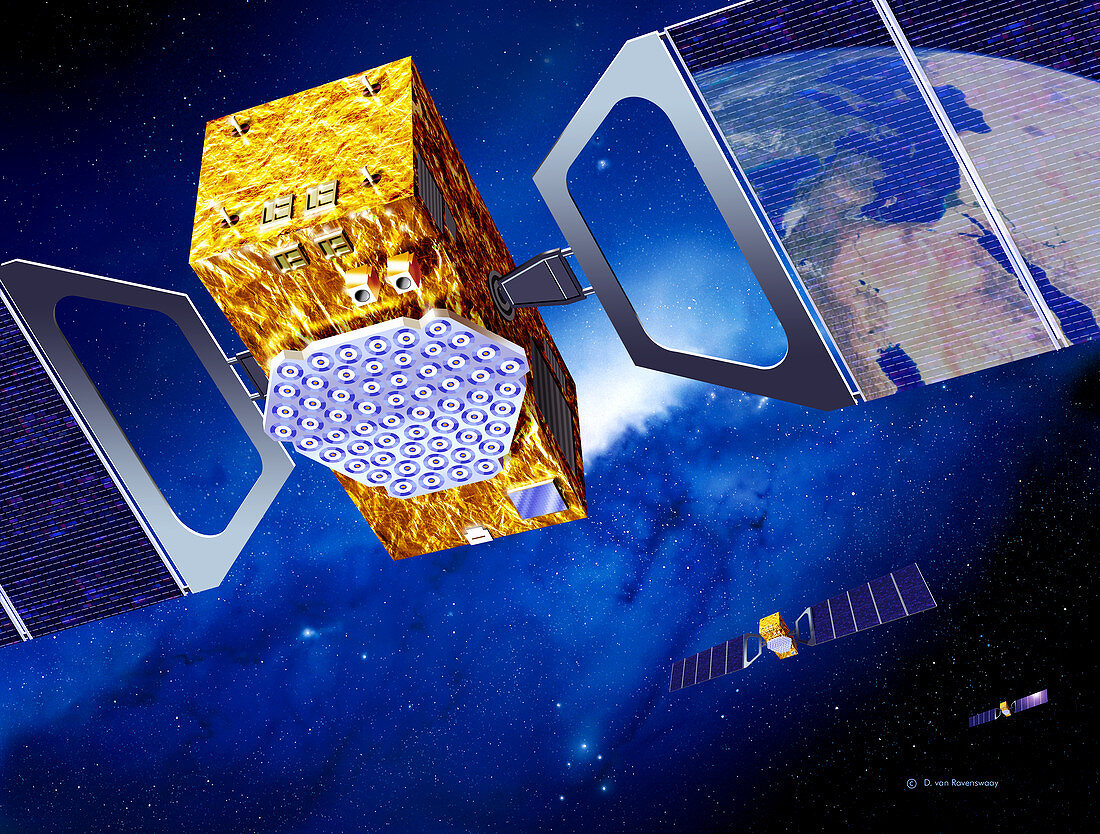
| Galileo navigation satellite network. Artwork of several navigation satellites for the European Galileo network,orbiting over Europe (reflection,top right,shows the Mediterranean Sea). Galileo will be a civilian global positioning system (GPS) that will consist of 30 satellites orbiting over 23,000 kilometres above the Earth. Galileo will be more accurate than,and compatible with,the other GPS systems. Applications include car,train and aircraft guidance,rescue services,and road use taxation. Each satellite is seen with solar panels (blue) to provide power. The complete network is scheduled to operate from 2008 | |
| Lizenzart: | Lizenzpflichtig |
| Credit: | Science Photo Library / Van Ravenswaay, Detlev |
| Bildgröße: | 4784 px × 3629 px |
| Modell-Rechte: | nicht erforderlich |
| Eigentums-Rechte: | nicht erforderlich |
| Restrictions: | - |
Preise für dieses Bild ab 15 €
Universitäten & Organisationen
(Informationsmaterial Digital, Informationsmaterial Print, Lehrmaterial Digital etc.)
ab 15 €
Redaktionell
(Bücher, Bücher: Sach- und Fachliteratur, Digitale Medien (redaktionell) etc.)
ab 30 €
Werbung
(Anzeigen, Aussenwerbung, Digitale Medien, Fernsehwerbung, Karten, Werbemittel, Zeitschriften etc.)
ab 55 €
Handelsprodukte
(bedruckte Textilie, Kalender, Postkarte, Grußkarte, Verpackung etc.)
ab 75 €
Pauschalpreise
Rechtepakete für die unbeschränkte Bildnutzung in Print oder Online
ab 495 €